This Is Our Story.
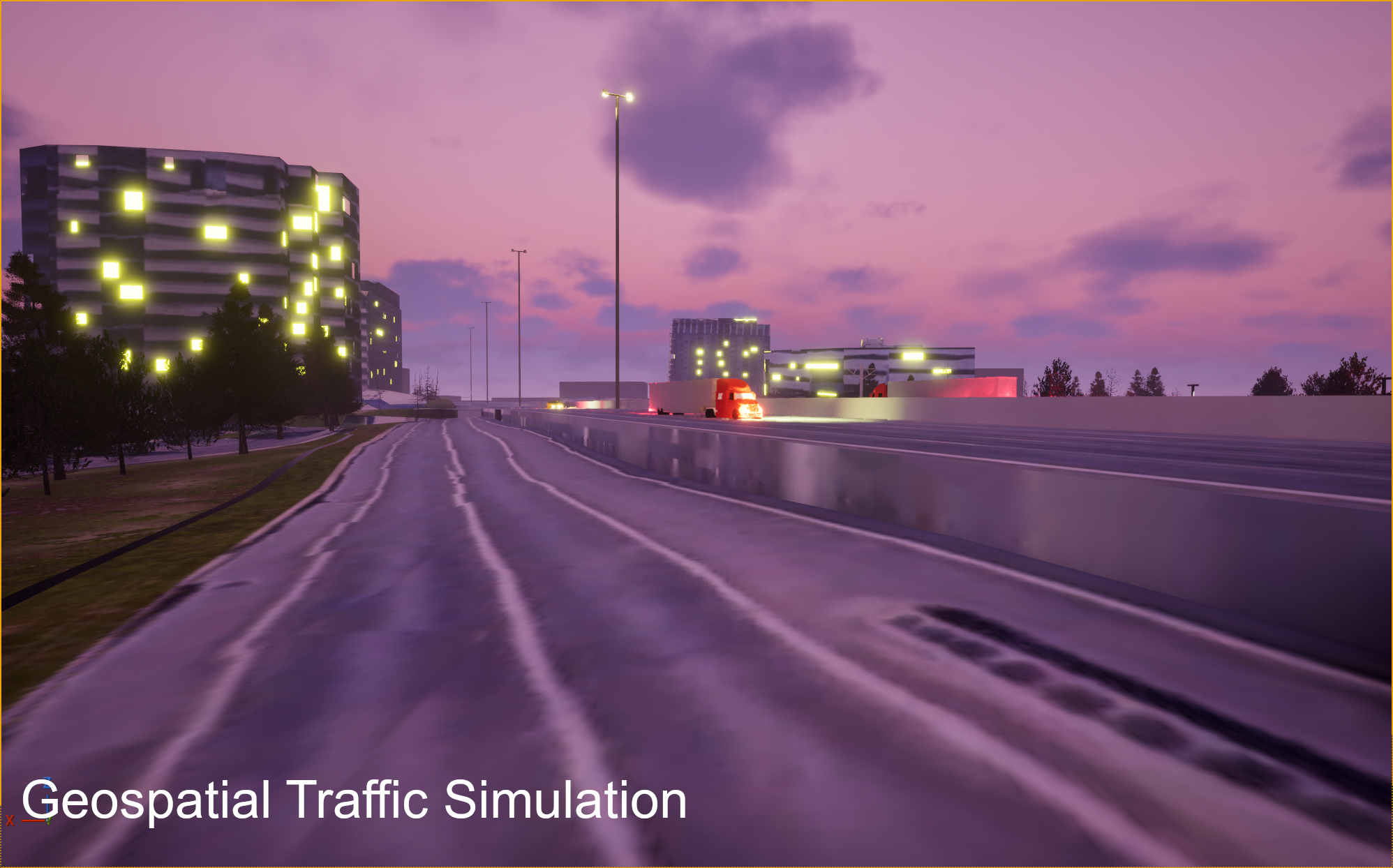
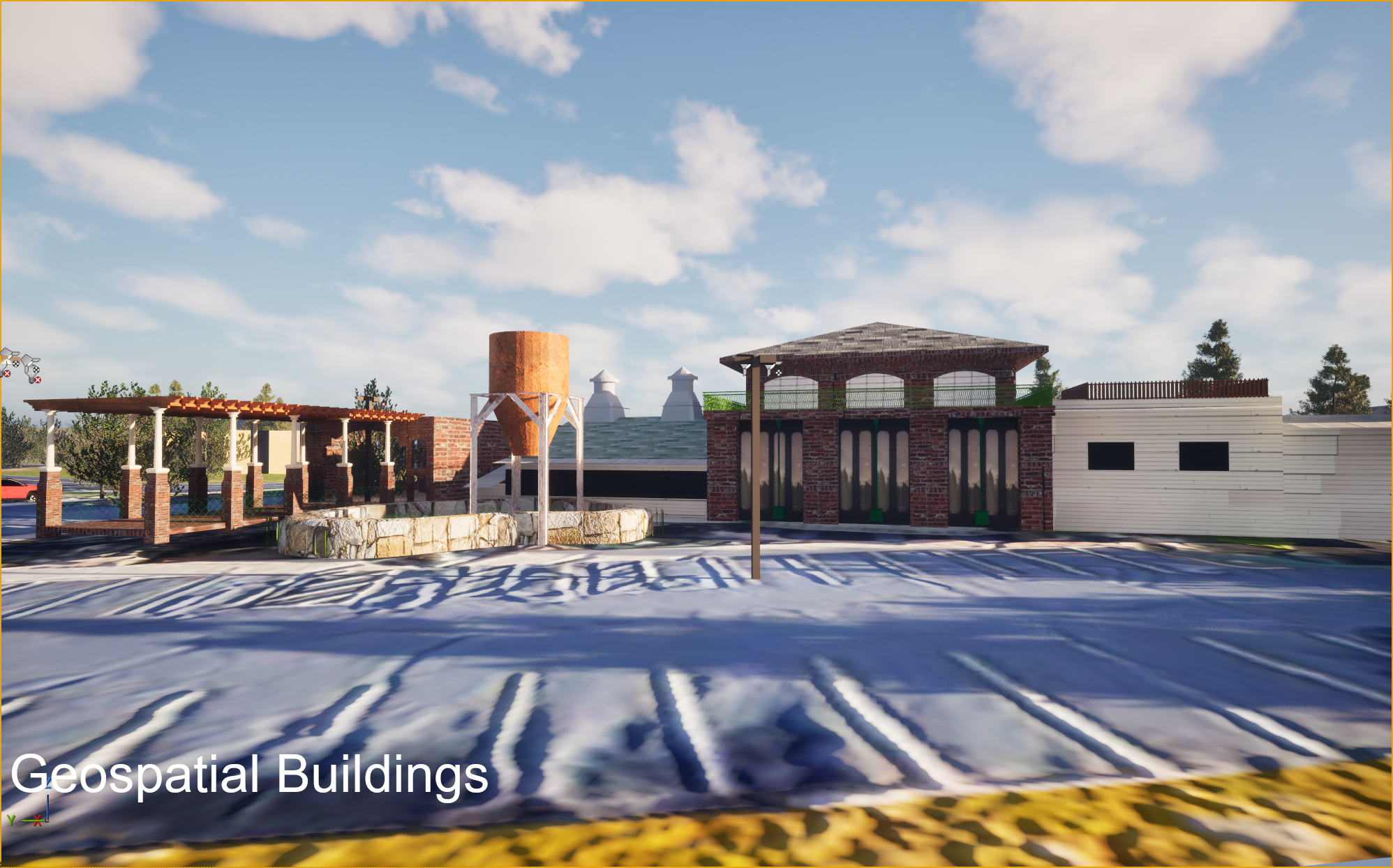
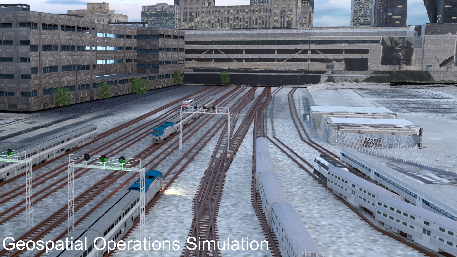
We started out with an idea. We wanted to create an example geospatial accurate scene using actual satellite data. We started developing the workflow to achieve this and learned many hard lessons along the way. As we iterated, we employed more software and 3D tools that allowed us to achieve the accuracy we were looking for. Although technical in nature, we consider each project a piece of art that is a living breathing digital work that will capture the present, imply the future, and record the past.