Geospatial 3D Simulation
We build quality affordable 3D geospatial simulations and models for a variety of industries
GeoSim3D Featured Work
Fusing technical geospatial data with rich 3D processing
For dynamic video content please visit our youtube channel
geosim3dWhy Choose us?
We're simple, affordable, passionate 3D geospatial data specialists.
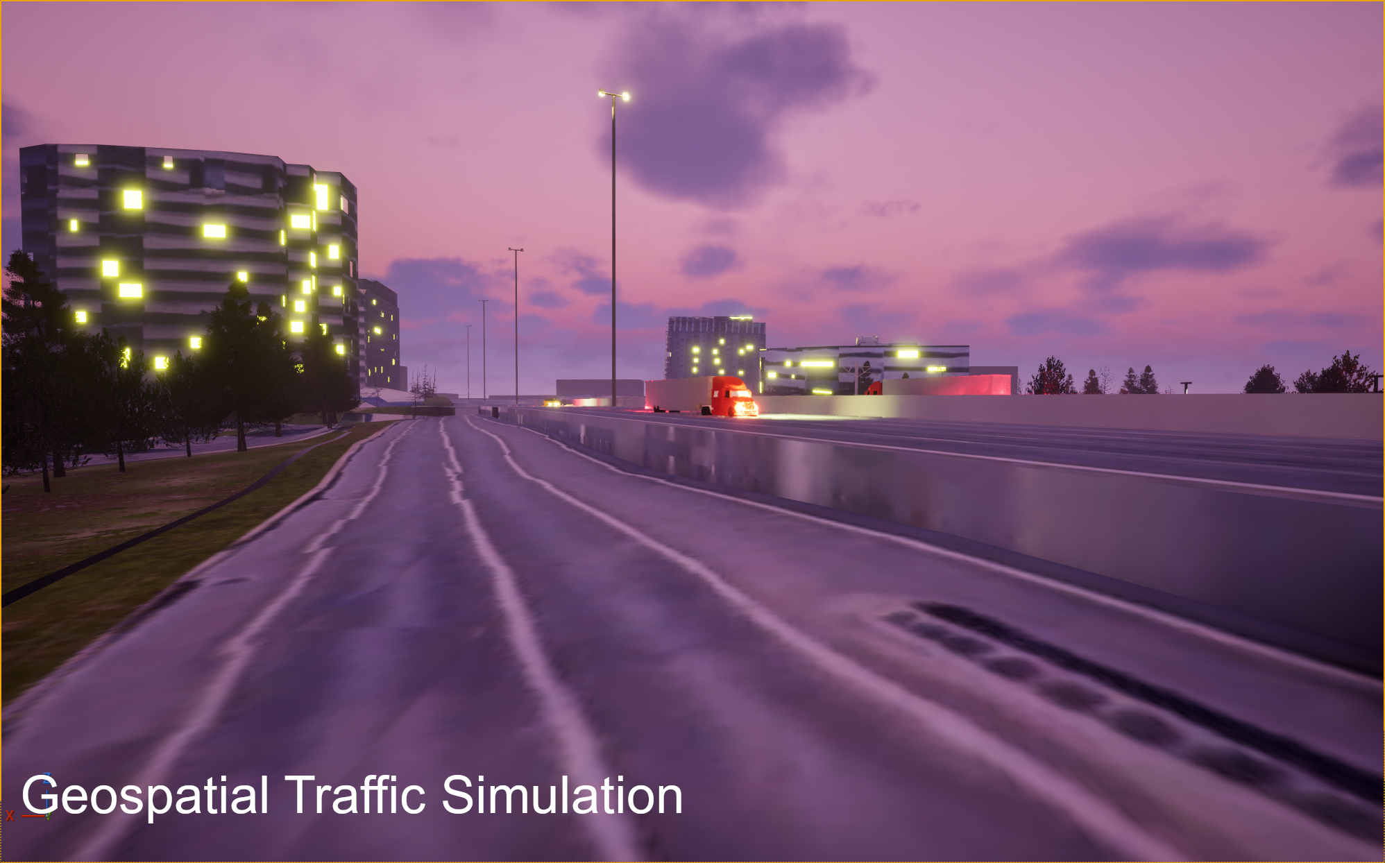
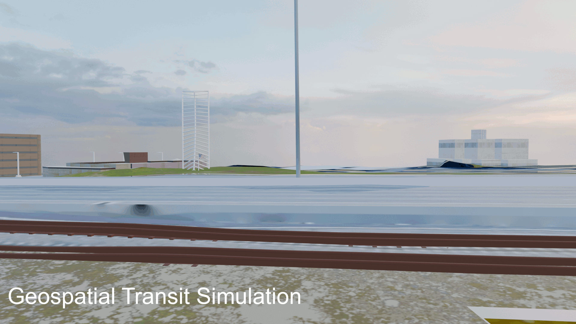
Need A Geospatial Transportation Logistics Simulation?
Our in house tools can generate traffic on highways, trains on railroads, and planes in the sky in a rich geospatial context.
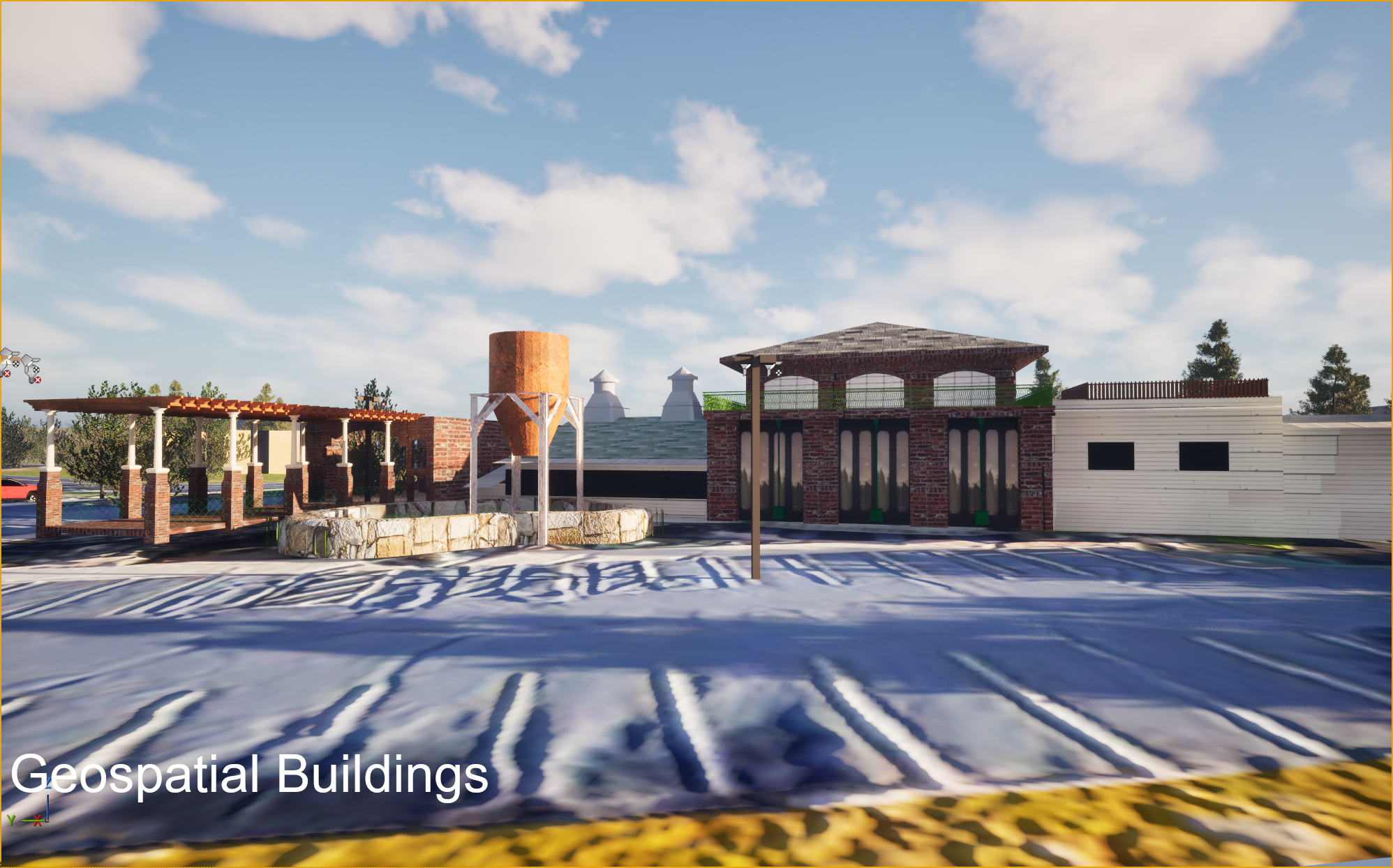
Need a Geospatial Commercial Real Estate Visualization?
With our raster imagery and 3D modeling and software tools we can create a geospatially accurate building, city block, or area to showcase a specific property or development project in a rich geospatial context.
Need Geospatial Training Content?
Train your train operators, bus drivers, conductors, air traffic controllers, or other civilian/military personnel with our accurate geospatial content coupled with animations built to suit your specific training/simulation needs.
Need an Architecture/Engineering Visualization?
If you're planning on a new development, transit system, we can supply you with or integrate your data from other CAD tools to create a reusable geospatial product all throughout the life of your project
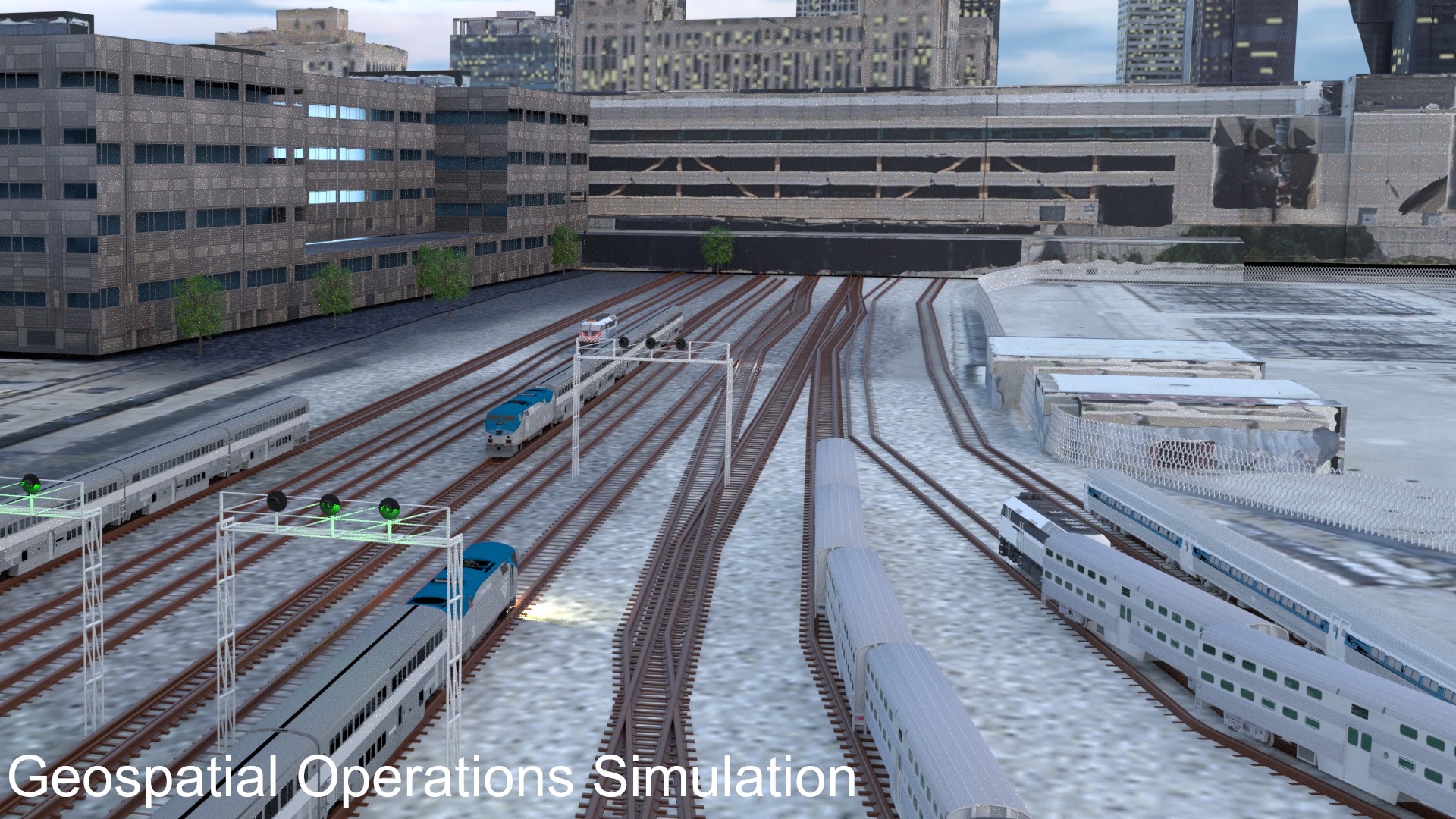
Need Real Time 3D Geospatial Operations?
If you've got a factory, warehouse, railyard, or site-plan we can develop a custom view of your operation with real time data/assets flowing in and out of your operation.
Never Worked with Geospatial 3D Data?
If you've never worked with 3D Geospatial data and would like to start looking into geospatial simulation and visualization, we're here to help in a fun and insightful way.
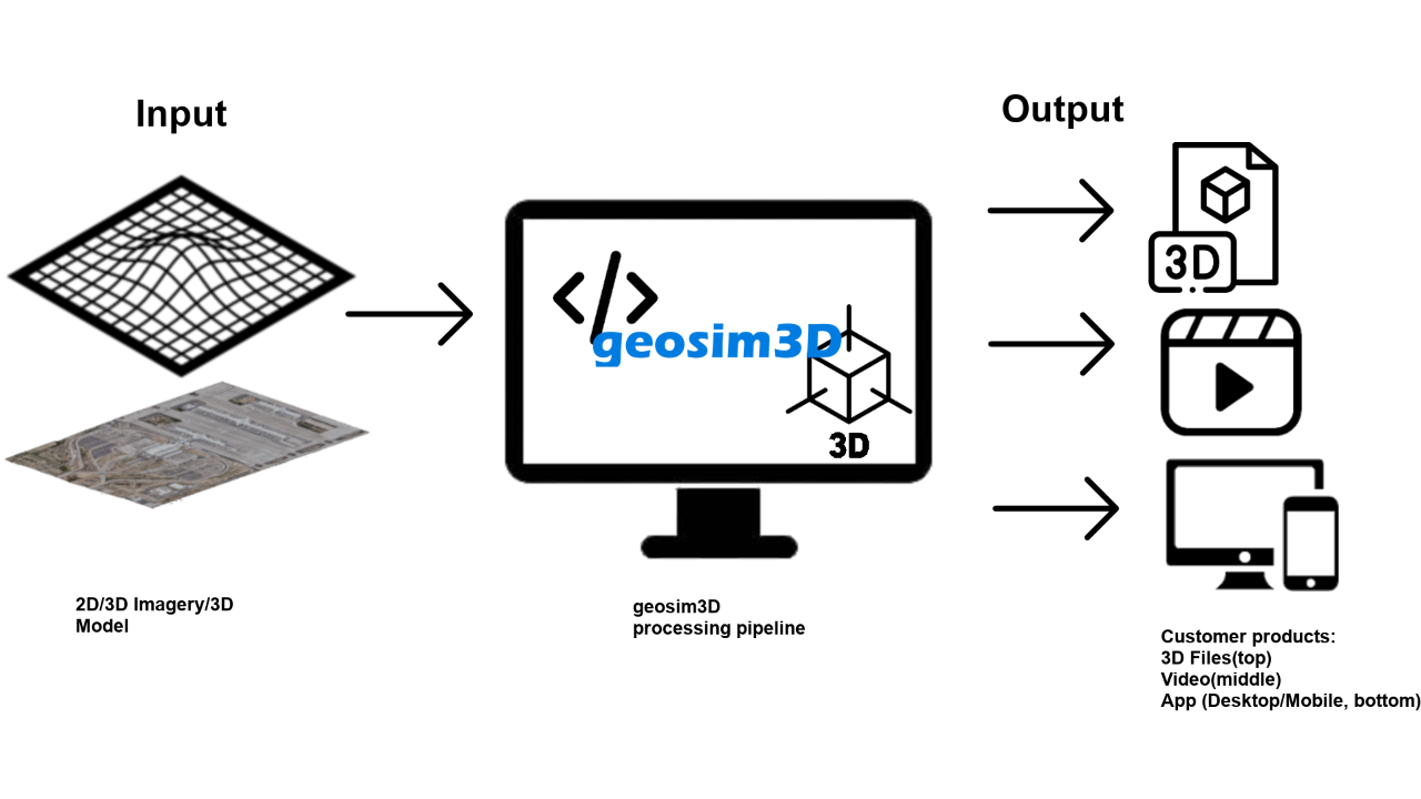
Our Process
Our process for building 3D Geospatial Products for your business or organization